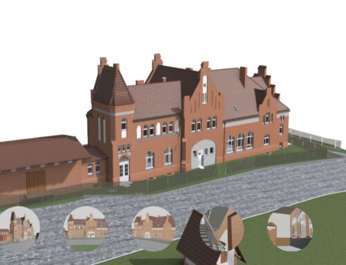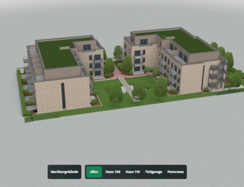
3D WebGIS for Real Estate Sales – Help Clients Visualize Their Future Home
We develop interactive 3D WebGIS platforms tailored for real estate sales. This powerful tool integrates geolocation data with 3D models of properties and neighborhoods, allowing end clients to:
-
Explore properties interactively on a map with full 3D visualization.
-
Switch design options (facade, materials, floor plans) in real-time using a configurator.
-
View sunlight simulation, orientation, and surroundings to better understand the living environment.
-
Walk through the house virtually to experience spaces before construction.
-
Compare multiple units or locations with layered information like schools, public transport, and green areas.
This solution shortens the decision-making process, boosts engagement, and empowers potential buyers to imagine their future home clearly—making it an ideal tool for developers and real estate agencies.